What?
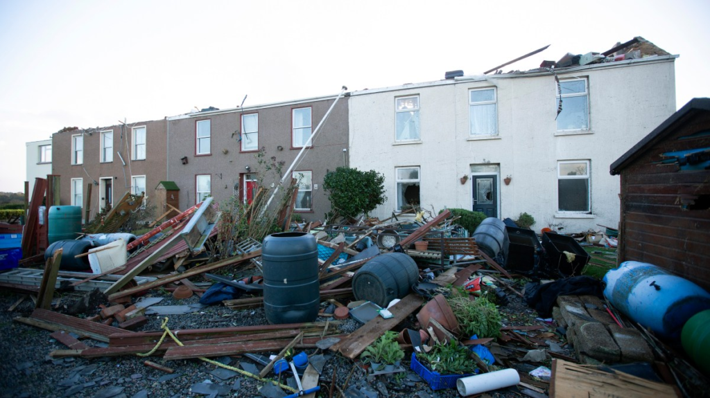
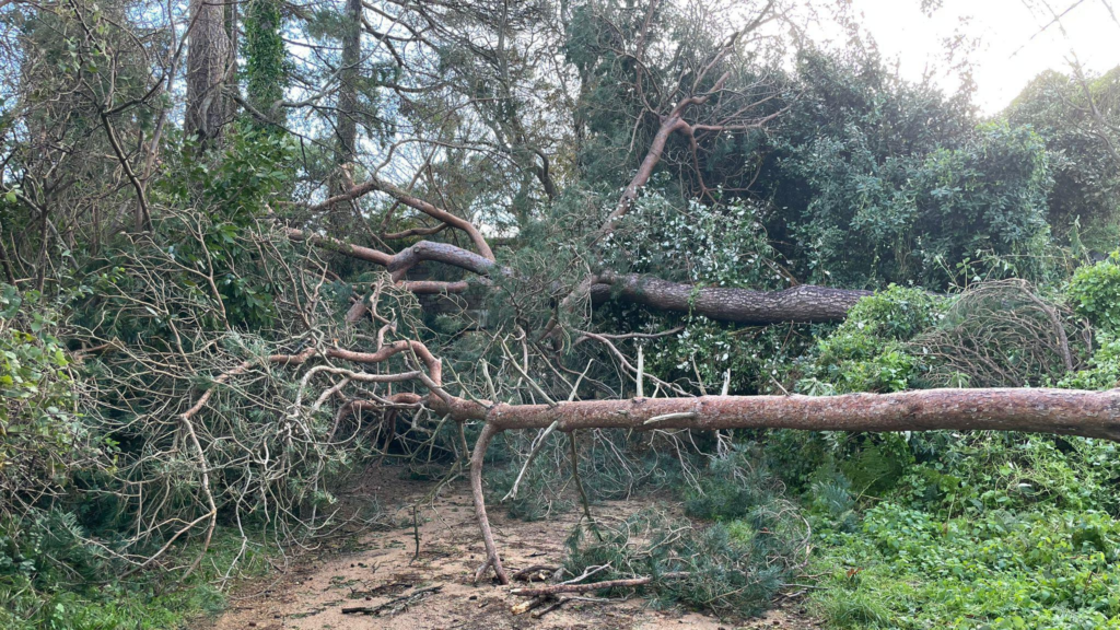
For my photoshoots I will photograph the damaged landscapes of Jersey due to Storm Ciaran. Throughout the night of Wednesday November 1st 2023, Jersey and the other channel islands, Guernsey and Sark, experienced a tornado ravage across their landscapes. With Jersey hit the worst, every parish had received some extent of destruction. Examples of such include trees falling onto homes and entire buildings have roofs and walls ripped off. Waking up to the damage, islands found out that many roads were impossible to traverse through and walking paths were blocked. The railway walk in St brelade, had become entirely covered in fallen trees and branches making it hardly able to recognise.
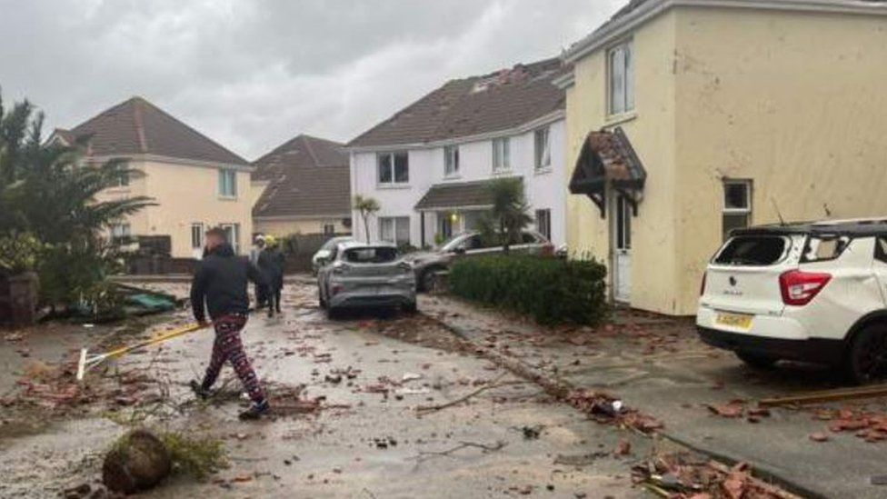
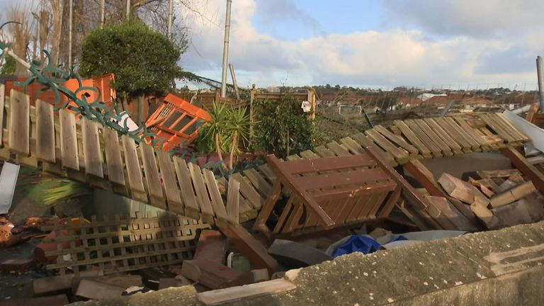
The neighbourhood in the area of FB fields had received the brunt of the storm, with many windows, roofs, gardens, car severely damaged to a point of unrecognition of what it previously looked like. Photos of street looked like an image of a war zone.
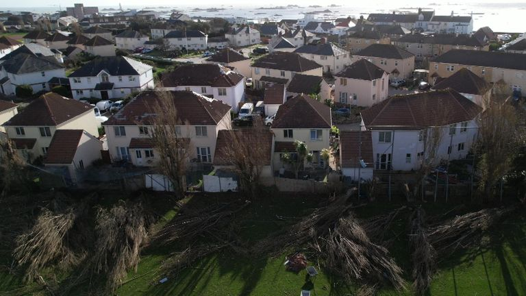
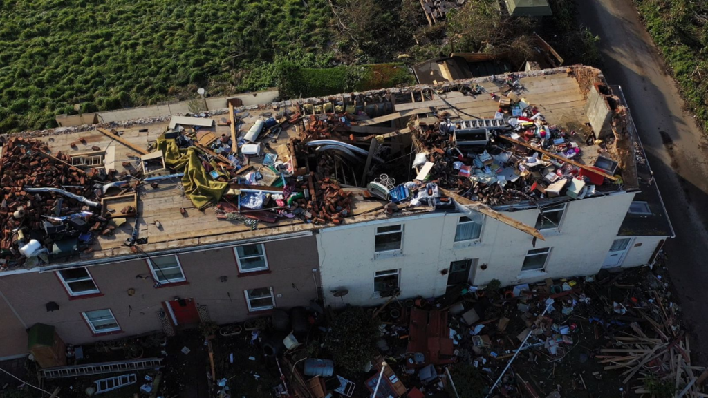
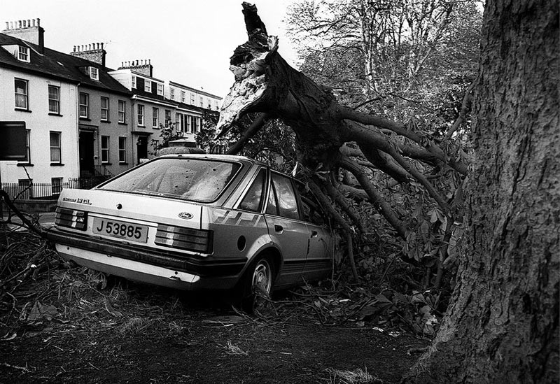
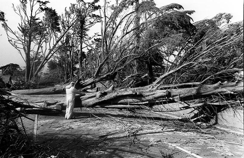
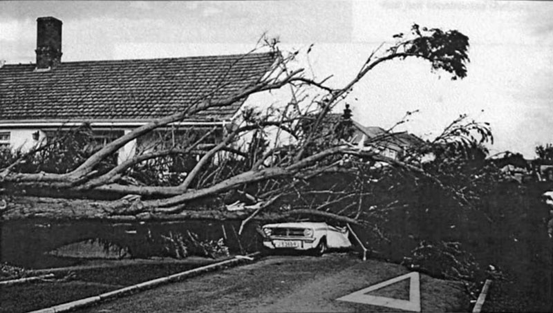
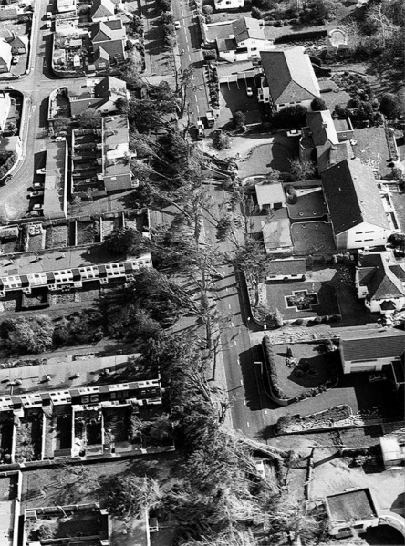
In comparison to the previous storm in 1987, that Jersey islanders nicknamed the ‘Great Storm’, the damage to the island was caused by much more violent and strong winds. Islanders alive who have experienced both reminisced to the time and have said the severity of damage it caused was similar to as it was now.
(The ‘Great Storm, 1987)
Who?
- I will capture images around island of damage caused by storm Ciaran as well as some of Jerseys urbanised areas.
Where?
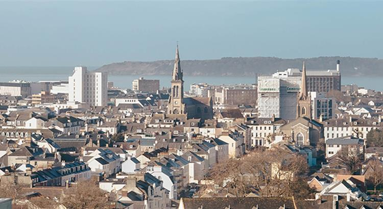
- Town – old areas in St Helier’s urban area such as the brewery, abandoned buildings, alley ways are a good example plus show storm damage. Houses around town are also being worked on with roof patching etc.
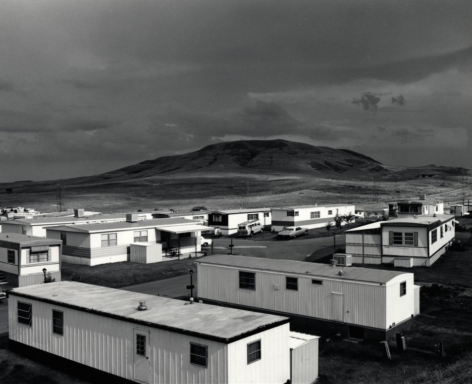
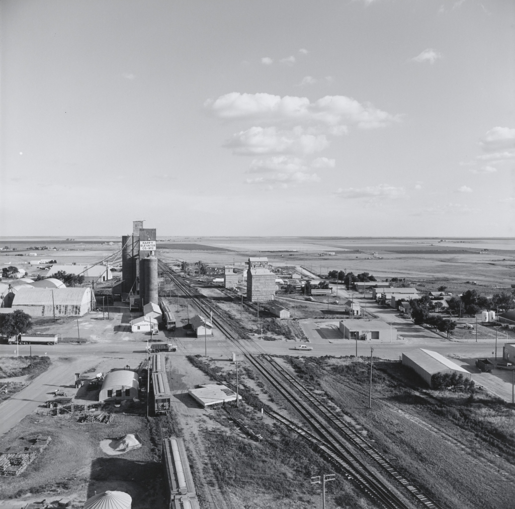
The top of car parks, provide a good height over towns urbanised topography. This is how I will create similar images such as to these. Places like fort regent will be useful as well.

- Noirmont – fallen trees are still populating the area and is a good way to show the impact on the woodland area and farm surrounding it.
- The railway walk – Numerous trees are still collapsed in that area and will provide a good example of regularly used pathways damaged.
When?
Over the half-term I will attempt to photograph a variety of different areas affected by the storm. By having photoshoots of different areas effected it will help create a good contextual basis on what happened like how Frank Gohlke did with the tornado damage to his home town, Wichita Falls in Texas.
Mind Map –
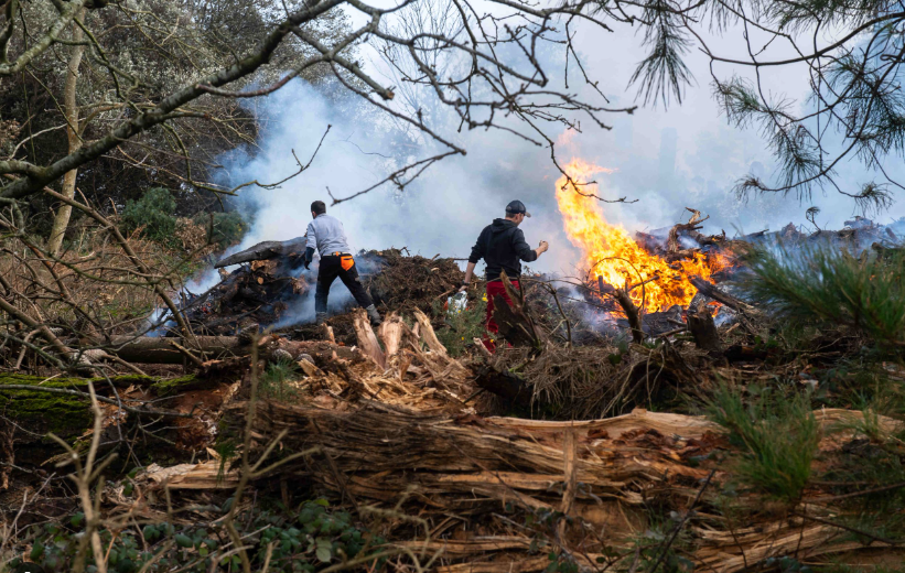
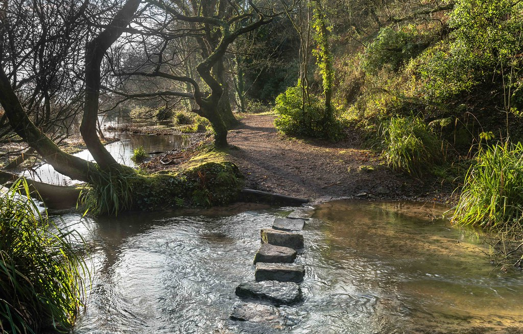
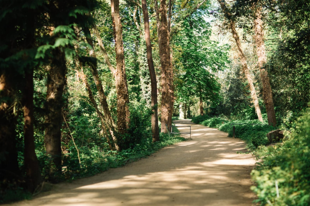
For my photoshoots I plan on creating at least 3, capturing different areas of damage caused by storm Ciaran. The idea I had in mind was to have them capture: Urban damage ( Town area), Environmental damage (walk paths, fallen trees in woods etc) and property damage (specific cases of peoples homes and what types of damage has been done, such as cars, gardens, roofs, walls, etc).
(Idea of general location – Town)
(Idea of general location – Noirmont, railway track, St Catherine’s woods)
(Idea of general location – houses in states effected heavily by the storm)
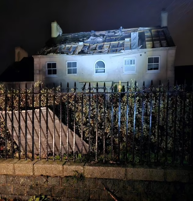
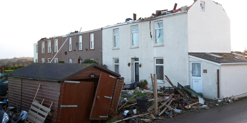
With these general locations in mind, this will be a starting point for my conceptual basis with my photoshoots.
