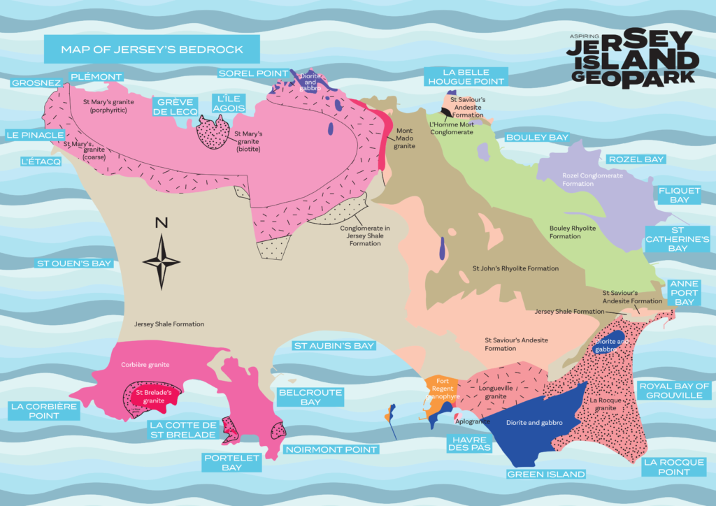
A Geopark is defined as “a UNESCO-designated area containing one or more sites of particular geological importance, intended to conserve the geological heritage and promote public awareness of it, typically through tourism“. Jersey is an aspiring Geopark due to it’s large geological range, which differs from the UK and other Channel Islands. This also has a large impact to Jersey’s culture and history, making it a strong contender to become a Geopark.
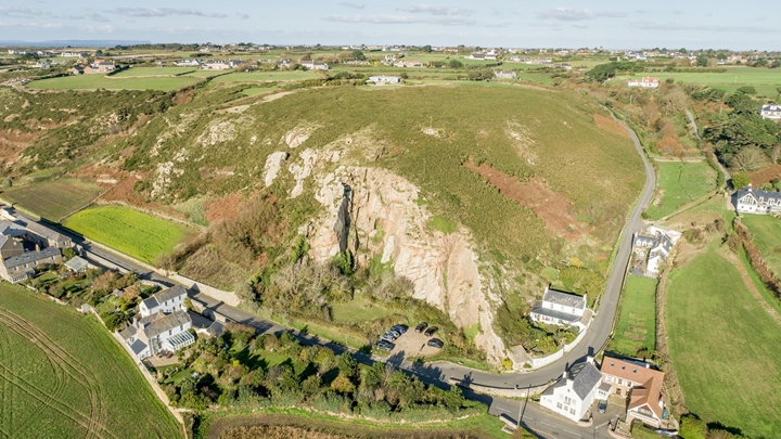
Jersey has 22 SSI (Sites of Special Interest), all over the island. These places are important because of their cultural and geological significance, and have been protected by the government from development, so they can be viewed by the public and researched by professionals.
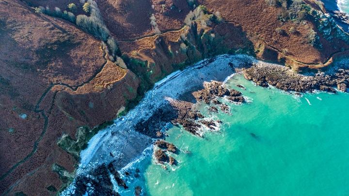
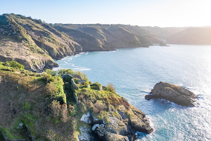
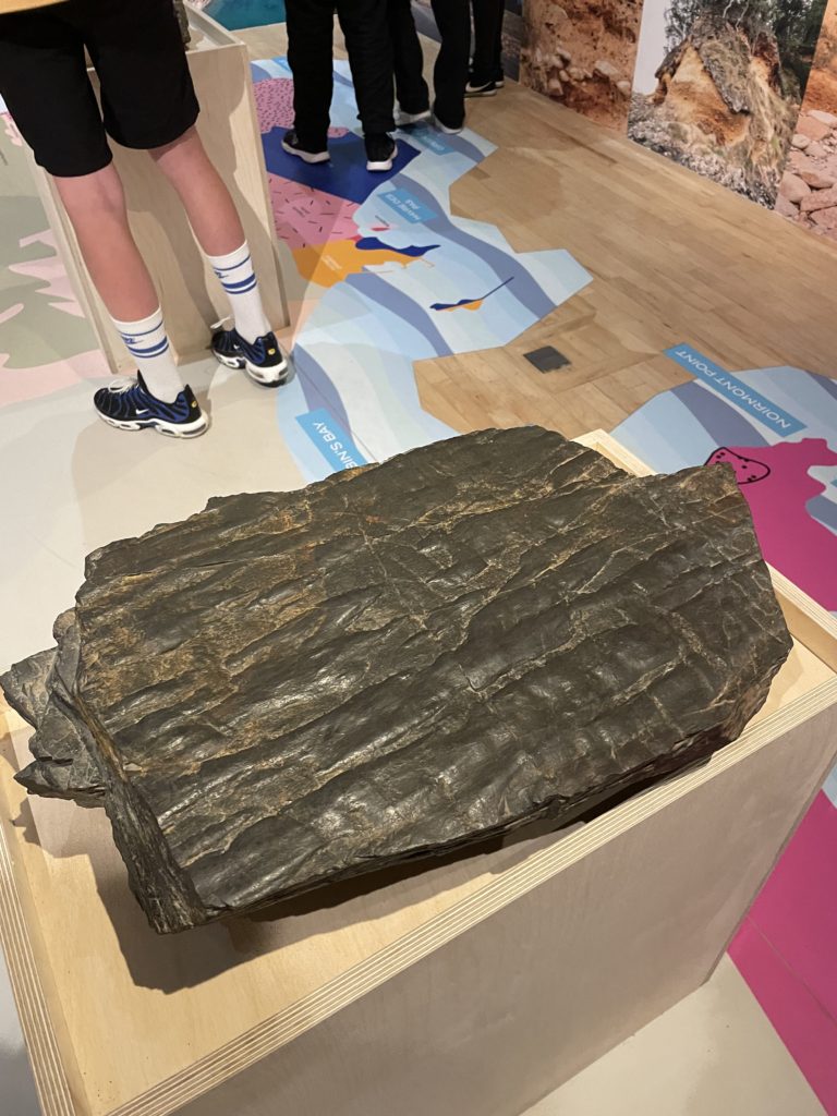
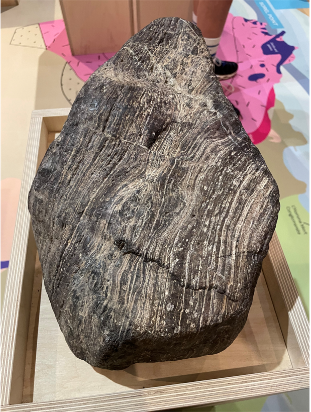
These sites include Le Pulec, Le Grand E’tacquerel, Le Petit E’tacqurel, and Le Pinnacle, which we visited on our field trip to St Ouen’s. They provided a range of different subject matter to photograph, from beautiful landscapes to interesting close-ups.
Natural Sites of Special Interest (SSIs) are places that are considered to be of public importance because of their special zoological, ecological, botanical or geological interest, or a combination of these and other special qualities. They’re also land and water that people consider to represent natural heritage in terms of their flora, animals and geology.
Natural SSIs are given legal protection as the best examples of this natural heritage and some areas are of international importance and the government has an added responsibility to maintain their quality.
Sites of Special Interest in Jersey:
Les Blanches Banques(better known as the sand dunes) – the sand dunes of St Ouen’s Bay are important for the diversity of wildlife
La Lande du Ouest (better known as Gorselands) – the heathlands connecting Le Corbière with Beauport
Les Landes de L’Est (better known as Les Landes) – on the north west corner of Jersey, the heathlands of Les Landes provide a valuable mosaic of habitats and open landscape
L’Ouaisne– this small site in St Brelade’s Bay is a haven for an amazing array of animals and plants
Portelet– situated above L’Ouaisne Common, Portelet Common offers an unrivalled coastal landscape
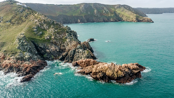
Noirmont– the sister reserve to Portelet, this headland is very popular and valuable for its ecological and historical wealth.
La Mare au Seigneur(St Ouen’s Pond) – a highly valuable wetland area for the varied and numerous waterfowl it attracts
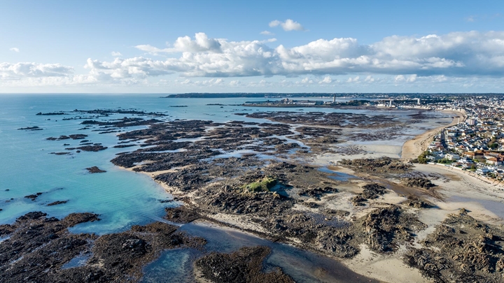
St Ouen’s Bay coastal strip compartments (areas between the Five Mile Road and the sea wall – areas of the fore-dune which contain a number of rare species associated with salt marsh habitat
Le Petit Pré – a secluded woodland area in Trinity which surrounds a picturesque wet meadow
Rue des Près– a wetland area which is important for the wet meadows and low lying marsh
Grouville Marsh – a complex of habitats comprising wet meadows, marsh, fen, wet and dry woodland
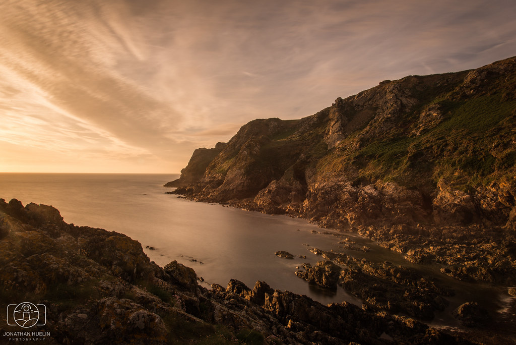
Bouley Bay and Les Hurets– coastal heath and maritime cliff on the north coast of botanical and zoological interest
Mont Orgueil (Gorey Castle) – the ancient walls of this castle offer niches for rare species of animal and plant
South Hill Battery– the grasslands alongside Mount Bingham support a wide range of grassland plants and is unusual in a largely urban environment
UNESCO Global Geoparks are single, unified geographical areas where sites and landscapes of international geological significance are managed with a holistic concept of protection, education and sustainable development.
Their bottom-up approach of combining conservation with sustainable development while involving local communities is becoming increasingly popular.
UNESCO’s work with geoparks began in 2001 and at present, there are 177 UNESCO Global Geoparks in 46 countries.
‘The Bailiwick of Jersey – consisting of 120 sqkm of land and 2,455 sqkm of marine waters – is an ecosystem of interconnected habitats, species and processes. Biodiversity is the variety and diversity of life and species that exist within this ecosystem and is present everywhere in the Bailiwick – from the centre of Town out to the Island’s territorial limits. Geodiversity is the variety of geological, geomorphological and soil features, which play a fundamental role in sustaining biodiversity.’-Draft Bridging Island Plan