What is a Geopark?
A geopark is a unified area that advances the protection and use of geological heritage in a sustainable way, and promotes the economic well-being of the people who live there.
UNESCO Global Geoparks (UGGp) are world-class geoparks – local areas focused on the protection of geological features and the celebration of that and the wider heritage – recognized by the United Nations Educational, Scientific and Cultural Organization (UNESCO). The network was set up to conserve earth’s geological heritage, as well as to promote the sustainable research and development by the concerned communities.
UNESCO Global Geoparks are single, unified geographical areas where sites and landscapes of international geological significance are managed with a holistic concept of protection, education and sustainable development.
scientific importance, rarity or beauty.
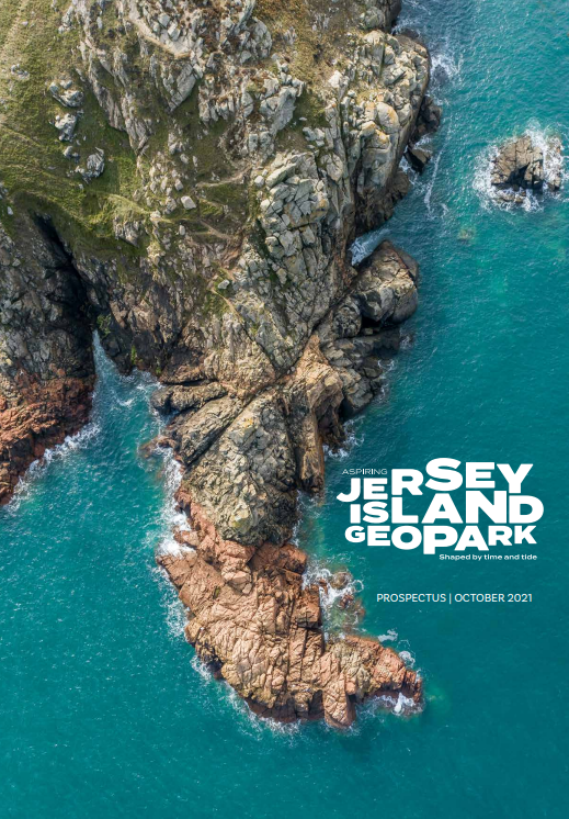
Aspiring Jersey Island Geopark
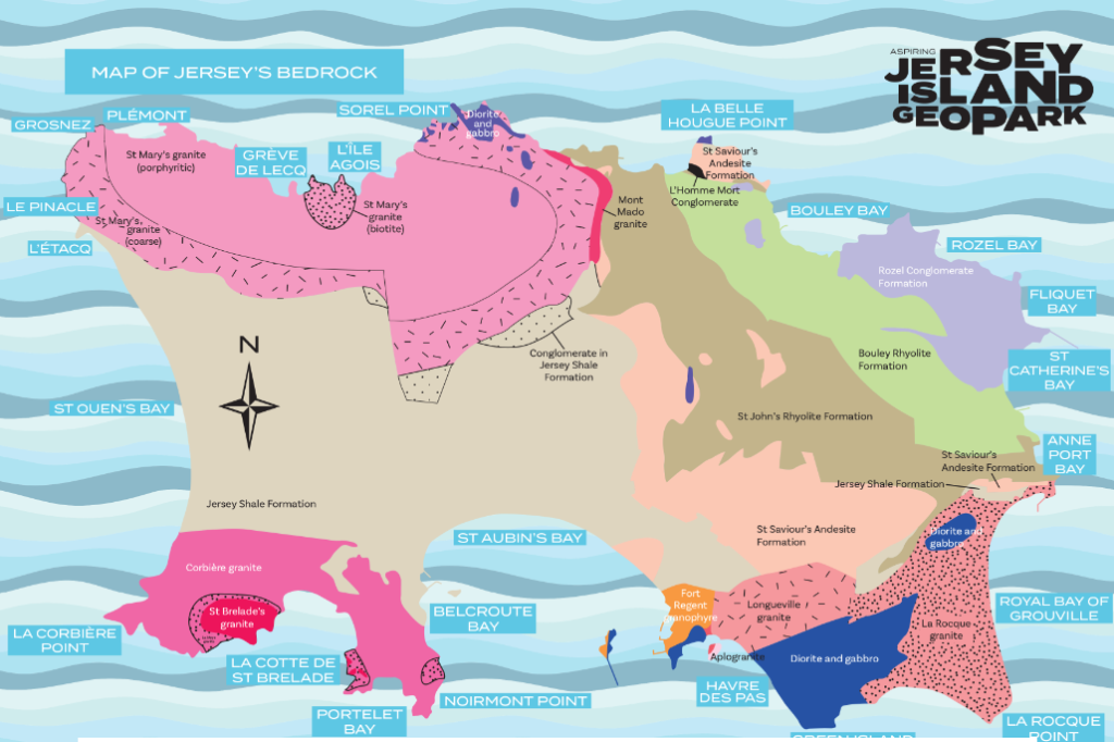
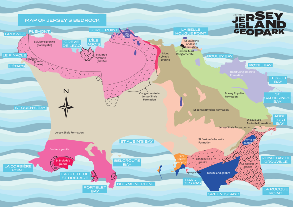
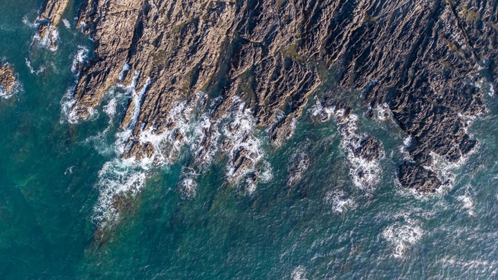
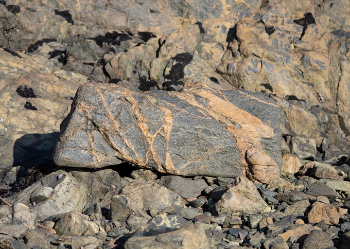
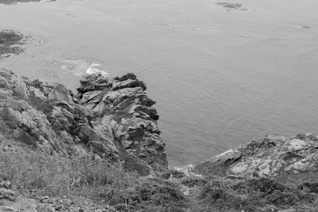
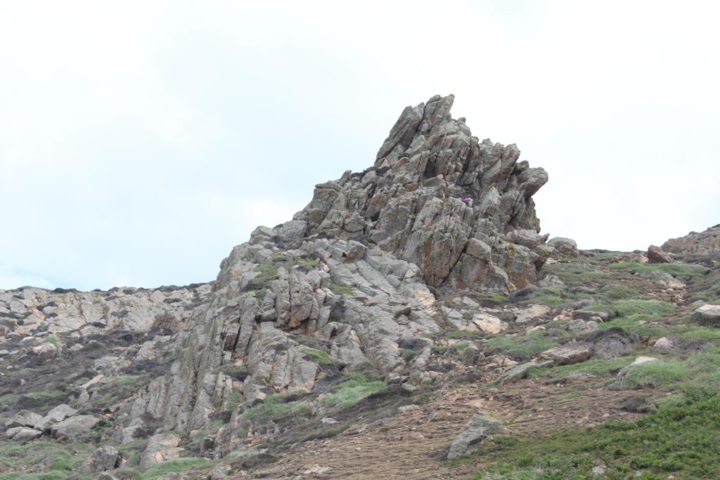
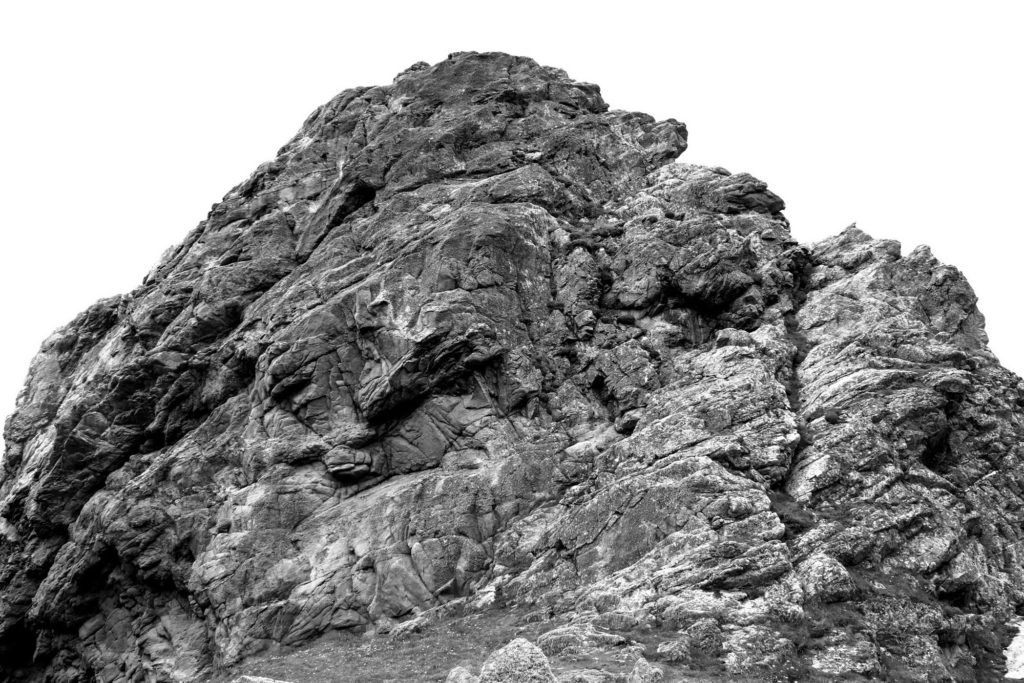
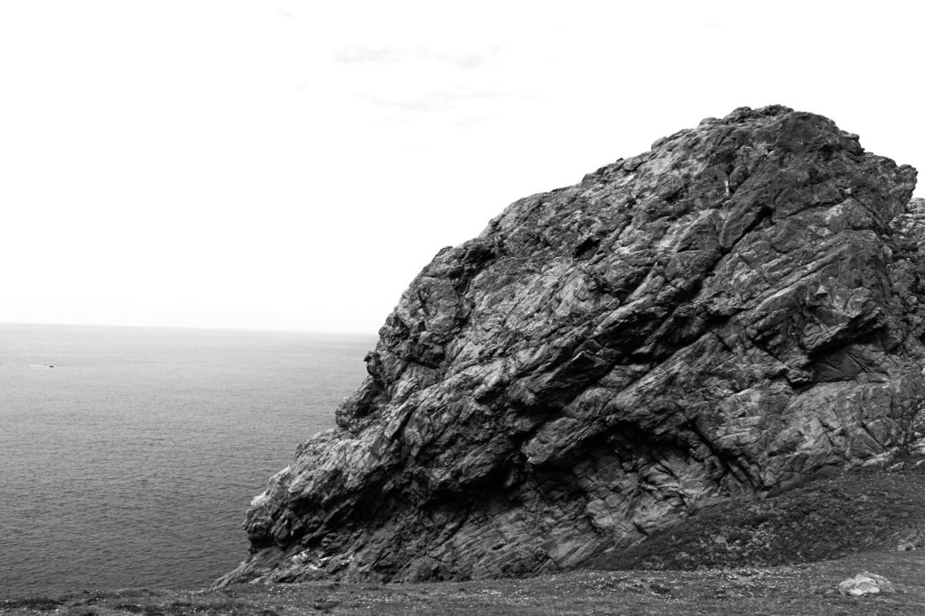
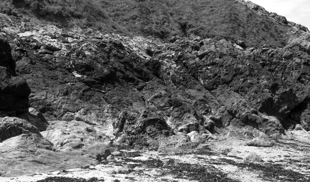
The Island of Jersey has a geology that is significantly different to that of the United Kingdom and even from that of the other Channel Islands. Many of the island’s geological sites are of regional and international significance and some have attracted global attention.
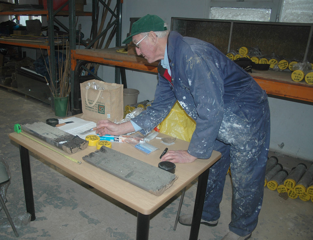
Jersey’s geology is outstandingly varied, and complex. This is why there are so many geological SSI sites. It is possible to see some of the oldest rocks visible in the British Isles – dating from the Neoproterozoic period, approx. 640 million years ago – through to deposits laid down since the end of the last ice age, approx. 10,000 years ago.
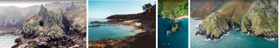
Jersey’s topography is varied and is typified by the geology that underlies the inland soils, forms the rocky headlands of the South West, the dramatic cliffs of the North coast, deep sided valleys and streams, gentler wooded edge, valleys, creeks to the North East, broad sandy bays, and offshore reefs and islands.
There are Ten Island outcomes in Jersey Performance Framework, three of which are core to the Aspiring Geopark:
Jersey’s unique natural environment is protected and conserved for future generations.
Jersey’s natural environment, countryside and coast, is a defining feature of the Island’s attractiveness as a place to live, work and visit. The Island’s community should take action to ensure the natural environment, is available for future generations to enjoy.
Jersey’s built and historic environment is valued and enjoyed.
Jersey’s historic environment helps define the Island. Its conservation and development play an important role
in economic growth, tourism, sustainable development and regeneration.
Islanders enjoy living in a vibrant and inclusive community.
Jersey’s future relies on people wanting to live in, or return to, the Island. An important factor influencing that choice is Jersey’s attraction as a place where people and community matter, making it a great place to live, socialise, grow up and belong.
By the Islands community making contributions to these three outcomes, the role played by the Aspiring Geopark then has the important dimension for the Island:
Islanders benefit from a strong, sustainable economy and rewarding job opportunities.
The prosperity of the Island, and the funding of the services on which it relies on, depends on a sustainable, vibrant and inclusive economy, underpinned by a skilled local workforce to
serve it. Heritage plays a significant part in tourism and associated employment.
Aspiring-Jersey-Island-Prospectus-Oct-2021.pdf (jerseyheritage.org)