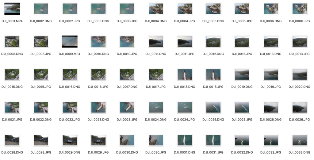
Firstly, I flew my drone around the bay and captured some unique angles of the bay, and a general overview shot of the bay. It allowed me to capture some of the features of the bay in greater detail such as, Fort Leicester (heritage site), and the l’islet. The contact sheet that contains the images from the drone flight of the bay.
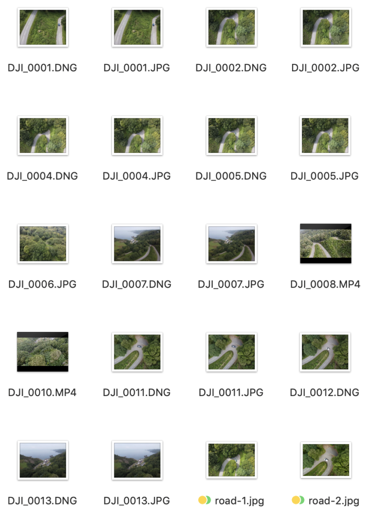
I also explored the hill leading the Bouley Bay, as I could compare the images with some of the old photos form the archive. Using the winding road images, means that I could link in some photos of Bouley Bay Hill Climb, which is an iconic event which happens in the area. An example of the contact sheet featuring the hill.
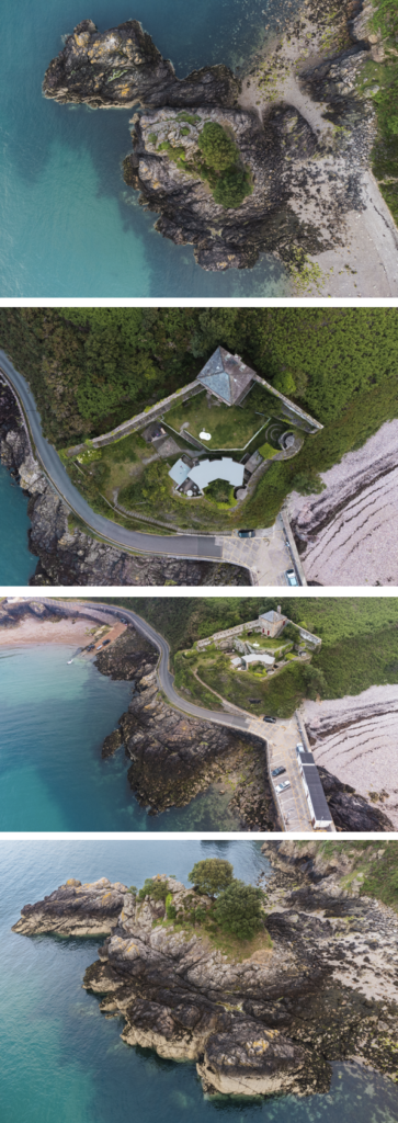
These are the best images that I took with my drone, after being edited in photoshop.
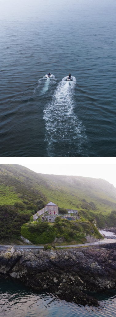
These 2 images are my favourite images. I really like how the sky has a hazed look to it, and has a gradient of overexposed sky, which gives the image a softer look. For the jet ski image, I used the clone stamp tool, and the spot healing brush to remove distractions such as, bright orange buoys, and some floating seaweed.
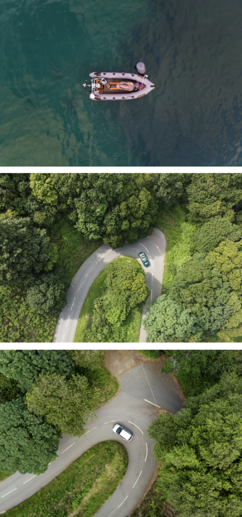
I made sure to capture images of the road which the Bouley Bay Hill Climb takes place on, which makes linking images of bikers and racers easier to connected relations to.

Overall, I like how the images came out. I feel that I achieved my main goal when taking photos with the drone, which was to show unique angles, that offers a new perspective. I like the images that show the object in a more 3D aspect, rather than the straight down, birds eye view shot. However, it still works well, especially for the cars driving down the road. I found that editing these images were easier as I could easily change the composition at which I took these images, as there were no limits for example, with a normal camera you can only shoot from as high as you climb to reach, where as a drone is controlled remotely.
